View of the Chisos at sunrise from my campsite at the start of the day
The Dodson Trail is the middle segment of the Outer Mountain Loop traversing the desert and foothills below the South Rim of the Chisos Mountains and stretching from the Juniper Canyon Trail to the Blue Creek Trail. I began my hike from my campsite a half mile down the eastern side of the trail (see my posts on Emory Peak and the Juniper Canyon Trail for how I arrived at this point).
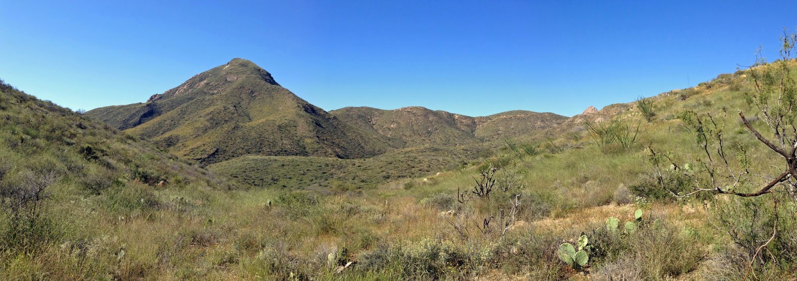
Start of the day following the trail through the gap left of center
South Rim from the first hill top I crossed
The Dodson Trail is lightly used and was fairly overgrown in places after going nearly a year without maintenance (the park's trail crew works in the winter). This trail gains about 2,000 feet in overall elevation as it goes up the hills and into various drainages across its length, although net elevation gain is only 400 feet from its eastern end to its western end.
Typical view of the Chihuahuan Desert along the Dodson Trail
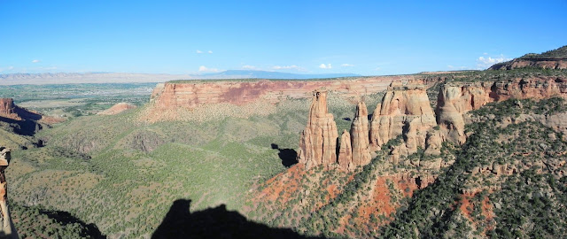
South Rim above Fresno Creek
View into the desert from above Fresno Creek
As I hiked across this trail there were often good views of the South Rim and surrounding smaller mountains, but I didn't once see another person or even animals other than a bullsnake and a few birds and insects. If you need water and have a filter, there are two locations, Dodson Spring and Fresno Creek/Spring, where you may be able to get water. I wasn't in need of any, so I didn't, but Fresno Creek usually has at least some water year-round, and was slightly flowing when I passed it.
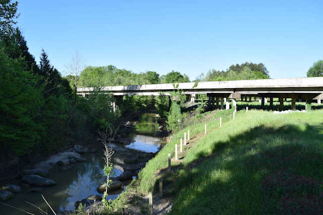
Fresno Creek
Along the western half the Dodson Trail
The Dodson Trail intersects with two even lesser-used trails, the Elephant Tusk and Smoky Creek trails, so be sure to pay attention when you reach these intersections and don't go the wrong direction and find yourself miles from where you should be. A few miles from the western end of the trail, it reaches a point at about 5,000 feet in elevation where you have a great view to the west all the way to Santa Elena Canyon. From here it is mostly downhill (although the trail follows some sandy/gravelly washes that make travel annoying at times). The trail turns uphill and gains elevation gradually as it approaches Homer Wilson Ranch in its last mile.
Dodson Trail - Smoky Creek Trail intersection
View east from the a high point near the western end of the trail
Hiking the Dodson Trail isn't really a good idea in the summer because there is no shade, and it can be quite hot here. But it was overall quite pleasant as I hiked across and reached Homer Wilson Ranch and my water cache at about 2:00 pm after leaving my campsite and 9:00 am. After resting in the shade of the ranch, and drinking a good bit of water (which I had strategically run out of about 3 miles from the ranch), I continued on a few miles up Blue Creek Canyon before making camp for the night. Overall, I enjoyed the Dodson Trail quite well probably because there weren't consistently long uphill sections and I had a bit less water weight to carry than I did the previous day up the Pinnacles Trail and down the Juniper Canyon Trail.
View west from the 5,000-ft point on the trail's western side
Descending towards Homer Wilson Ranch
Looking back up towards the 5,000-ft point at the notch left of center


Comments
Post a Comment