Meramec Conservation Area
Distance: 6 mi (9.7 km) round trip
Location: Sullivan, Missouri
Date: July 21, 2012
The Meramec Conservation Area is located in east-central Missouri along the Meramec River a few miles from the town of Sullivan and Interstate 44. Like much of the nearby areas I have been to, the area consists of forested hills and dry streambeds.
This area has a 10.5 mile loop trail that is open to hiking, biking, and horseback riding. There is also the 5.5 mile Reedville Loop Trail that is open to hiking only. The Woodland Trail is a 1.3 mile paved disabled-accessible loop trail goes through the lowlands along the river. These trails connect at several points and can be combined to form various trips (see map here).
I began my hike from the primary trailhead at the end of a gravel road that goes north a short ways from Missouri Route 185. I started out walking along the right fork (southern side) of the Woodland Trial. A short spur from this trail goes to Lone Hill Onyx Cave, one of six caves in the area. However, all caves are currently closed without special permission, and they may be gated.
About halfway around the Woodland Trail I turned onto the the Reedville Loop Trail, which I followed for its entire length back to the trailhead. This trail begins by continuing through the lowland a short distance before it reaches another cave. The trail then turns uphill and follows a ridge along the Meramec River before reaching a scenic overlook, which didn't have a view at all. This trail follows the ridge for a couple miles and passes two ponds before and after crossing the muti-use trail.
The Reedville Loop Trail then descends into a valley, up another hill, and back down into a valley. After following the valley for about a half mile the trail ascends Lone Hill reaching a picnic site on the summit where there used to be a fire lookout tower. From the top of the hill it is all downhill a relatively short distance to the trailhead.
© Copyright 2017 Matthew Pintar. All rights reserved.
Location: Sullivan, Missouri
Date: July 21, 2012
 |
| Lone Hill Onyx Cave |
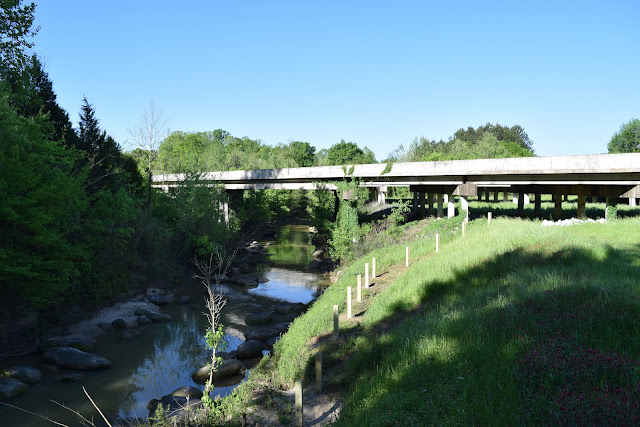
The Meramec Conservation Area is located in east-central Missouri along the Meramec River a few miles from the town of Sullivan and Interstate 44. Like much of the nearby areas I have been to, the area consists of forested hills and dry streambeds.
 |
| Meramec River |
This area has a 10.5 mile loop trail that is open to hiking, biking, and horseback riding. There is also the 5.5 mile Reedville Loop Trail that is open to hiking only. The Woodland Trail is a 1.3 mile paved disabled-accessible loop trail goes through the lowlands along the river. These trails connect at several points and can be combined to form various trips (see map here).
 |
| Bluffs outside of Lone Hill Onyx Cave |
I began my hike from the primary trailhead at the end of a gravel road that goes north a short ways from Missouri Route 185. I started out walking along the right fork (southern side) of the Woodland Trial. A short spur from this trail goes to Lone Hill Onyx Cave, one of six caves in the area. However, all caves are currently closed without special permission, and they may be gated.
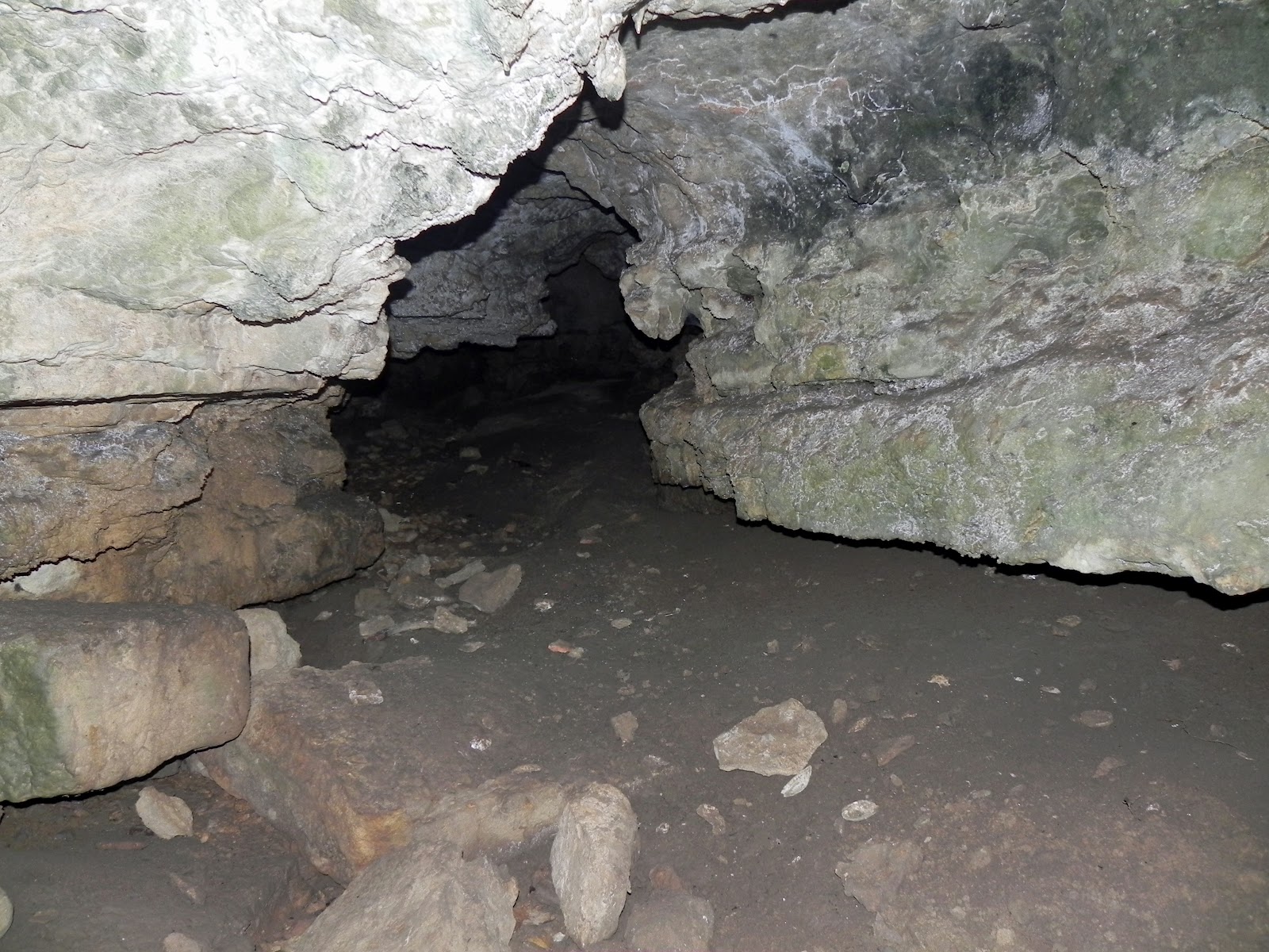 |
| Looking inside the second cave |
About halfway around the Woodland Trail I turned onto the the Reedville Loop Trail, which I followed for its entire length back to the trailhead. This trail begins by continuing through the lowland a short distance before it reaches another cave. The trail then turns uphill and follows a ridge along the Meramec River before reaching a scenic overlook, which didn't have a view at all. This trail follows the ridge for a couple miles and passes two ponds before and after crossing the muti-use trail.
 |
| One of the ponds along the Reedville Loop Trail |
The Reedville Loop Trail then descends into a valley, up another hill, and back down into a valley. After following the valley for about a half mile the trail ascends Lone Hill reaching a picnic site on the summit where there used to be a fire lookout tower. From the top of the hill it is all downhill a relatively short distance to the trailhead.
© Copyright 2017 Matthew Pintar. All rights reserved.
Comments
Post a Comment